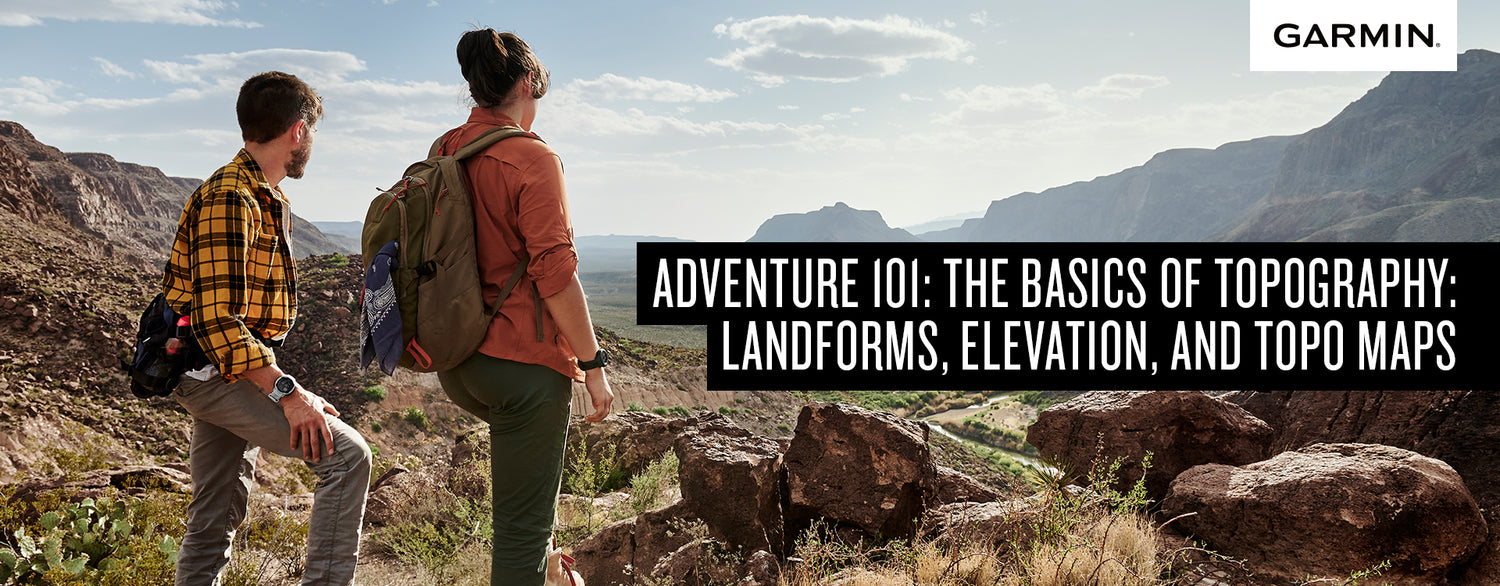
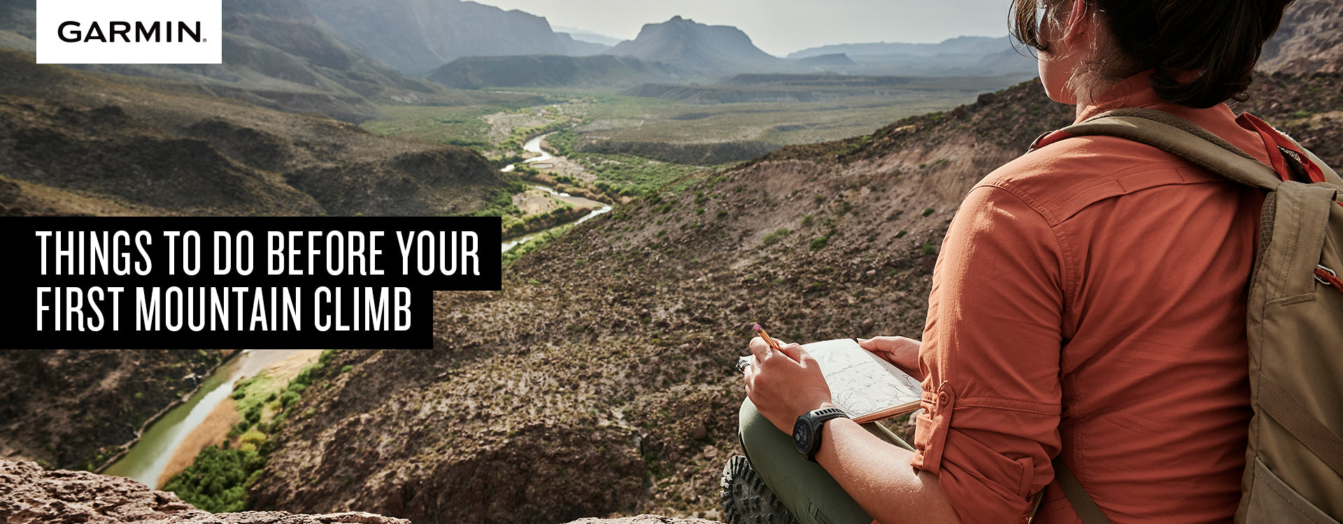
The modern times have surely changed—both for the better and for the worse. So it is a must that you are equipped with knowledge that will save you from the dangers that you will face whether it be in an urban setting or on the fields. For starters, knowing the lay of the land is one of the most essential skills one can acquire most especially when a person loves traveling.
The thing you should be wary of the most when venturing into new lands is the earth itself. Be familiar with what you see or feel like the man-made creations and natural formations. Human creations are much more noticeable and identifiable as opposed to natural formations like trees, ravines, and cliffs—which is why we will teach you how to own the field.

The first thing you should do when going outdoors in the mountains is to research and print the local topographic map of the area. As an adventurer, you should also always carry your trusty compass—which is extremely vital to your navigation. Your compass will tell you a lot of things such as measurement conversion of millimeters to meters on your map and of course the direction of North. Here’s a tip you will find useful when looking at a topographic map—when the lines are getting closer to each other, that means it is higher and steeper; but when the lines are getting more apart, it becomes less steep and more walkable for you.
Second, you must have sensitive feet. What does that mean? It means that you should feel what is below your foot, especially the angle of the land. For example, if your feet are having an acute incline of around 30 degrees, then you are most likely facing a hill or a mountain and you are climbing it. And if you feel like your feet are inclined the other way around, then you are traversing that said hill down. Any sort of elevation will show up on your printed topographic map as an elevation line, so you should be familiar with your surroundings. A GPS tracker will help you a lot, especially the military grade ones.

Third, heighten your senses, especially your hearing and feeling. Sudden changes in the air like thickening fog or mist are a sign that you are near a water source or you are high up above. Natural sources of water can be heard. The usual gushing of water is very identifiable, so you better have your hearing all good. The hidden danger of this is that natural waters come from either underwater sources or from a waterfall—which is a sign of a nearby cliff or an underground cave that might collapse. These things do not appear on topographic maps unless they are updated, so you have to be much more careful if you have a relatively outdated one.

And lastly, the most important of all—a device to keep you alive and aware. You should always keep something on your body that monitors your health while also observing your surroundings, which is why the best tool for this job is the Garmin Instinct 2S. The Instinct 2S not only checks your health often, it also monitors what is going on with your surroundings such as your current elevation, temperature, and location. With a battery built for longevity and survivability, you can literally stay out in the woods for weeks and the Instinct 2S will survive with you.
Being a mission-ready watch, the Garmin Instinct 2S comes equipped with tactical capabilities that are ready to meet all your tactical needs—from measuring your stress levels to being compatible with your NVGs.


Leave a comment
All comments are moderated before being published.
This site is protected by reCAPTCHA and the Google Privacy Policy and Terms of Service apply.