


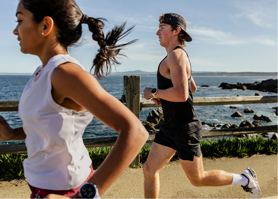

The global positioning system or the GPS is something that was considered a highly advanced innovation back when it was first released by the United States’ Department of Defense since it was one of the finest real-time navigation systems that existed at that time. While GPS was intended for scientific and military use, in modern times, getting your hands on it is a piece of cake. Why, you ask? Almost all smartphones have it
How does GPS work?
In layman's terms, GPS works by the use of high-tech satellites in low orbit. So how does GPS know where exactly you are? Well, the satellites and your GPS device are linked to each other so it can track your position accurately. To ensure the accuracy of your location, the device (either your phone or your outdoor watch) is being tracked not by a single satellite—but at least four of them. These satellites communicate with each other and exchange information as to where you are located, and then they display that information on your device’s screen, giving you an excellent estimate of your location. With that said, here are some tips on how to use them.
Familiarize yourself with the lines
In a GPS system, whether it’s the usual black and white or the modern, more colorful ones, there are horizontal and vertical lines across the screen that make up something that looks like a grid. These lines are latitude and longitude lines. They are more commonly categorized as the X and Y lines that create the box grids on your GPS screen. The horizontal lines are the X-lines or the longitude lines and the Y-lines are the latitude lines. Any point anywhere inside the longitude and latitude lines has its own corresponding coordinates. Coordinates are the numbers that tell you your exact location inside those grids. Familiarize yourself with this information and you will surely master the usage of the GPS in no time.
Have a brief knowledge on where you are going
Be it in the woods or in the city, gather information as to where you want to go. Are there tall buildings that you should watch out for? Are the hills you will be seeing are steep ones or elongated ones? Since GPS gives you a picture from above, it is a good measure that you know how your surroundings look when seen from a bird’s-eye view. For example, you walked a longer distance on the right side of the building but a shorter one when you took a left turn, that means you are traversing a rectangular building. Well, modern GPS provides you with names of your surroundings so it is much easier to navigate today.
Not all the lines in your GPS are roads, so you should be familiar as to what those legends are. For example, blue asymmetrical lines mean it is a body of water like a creek or a river, and if you see broken lines, there’s a good chance that that is a railway.
Know where you are goingKnowing how to operate your device won’t help you much if you do not know where you are going. Some GPS trackers only provide you with coordinates, so it is a must that you know your goal location’s exact coordinates.
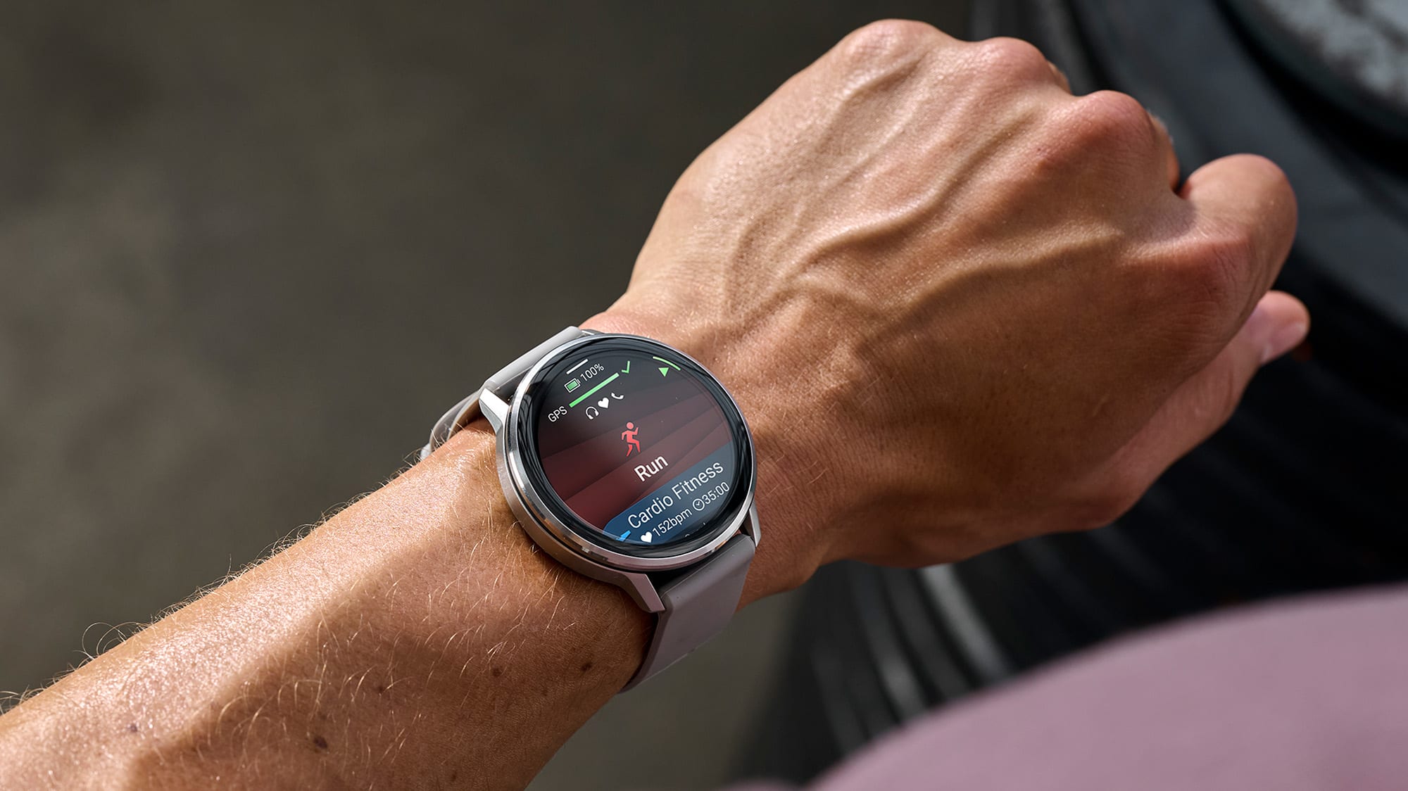
Lastly, use a reliable device
In today’s times, the more portable and functional a device is, the better. The Garmin Epix line of watches are one of the best watches you can get when you love going outdoors or just plainly traversing the concrete jungle. Equipped with an accurate GPS tracking device with a familiar colored display, using the GPS becomes very easy. The Garmin Epix also boasts a battery built for longevity and an AMOLED display which will help you greatly when exploring the outdoors.


Leave a comment
All comments are moderated before being published.
This site is protected by hCaptcha and the hCaptcha Privacy Policy and Terms of Service apply.